Fonds de Quarreux Hike

05 November 2026

Jurgen Bricheux
A sporty epicurean in search of new trails and shared pleasures
All my contributions
This 9.5 km walk takes you to the heart of the Amblève valley, to discover the Fonds de Quarreux , a natural site classified as one of the most remarkable in the Ardennes. The route combines forest paths, riverside trails and rocky sections, offering a beautiful immersion in water, stone and forest.
The departure point is the Fonds de Quarreux car park, located along the Route de la Gleize.
From the very first meters, the path runs along the left bank of the Amblève, where the blocks of quartzite polished by the current create a unique and soothing setting.
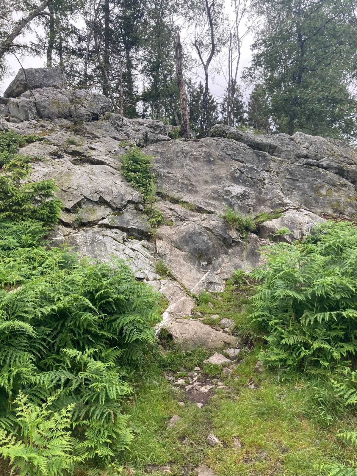
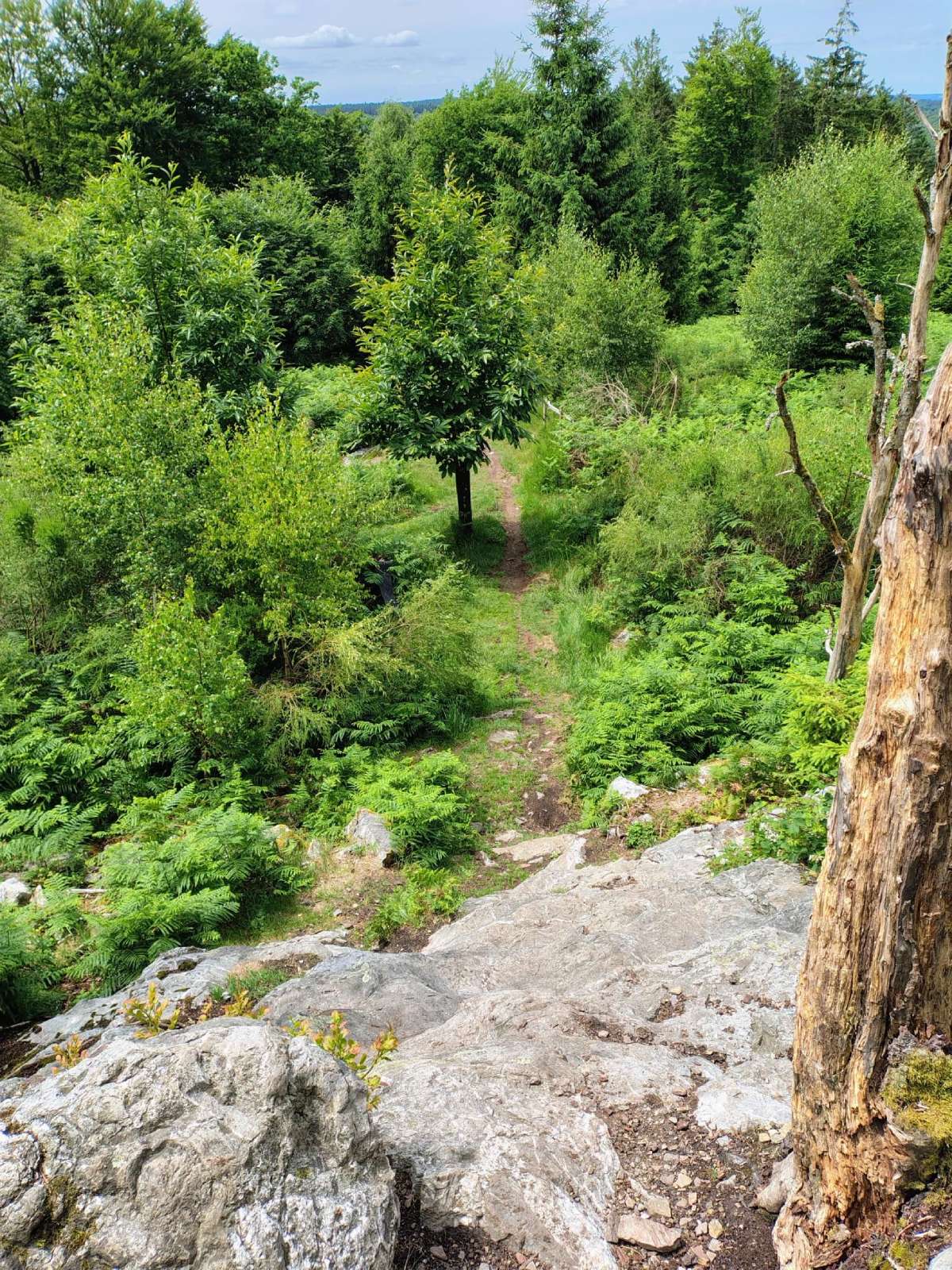
Quarreux Fund (© strava.com)
The path gradually returns to the Gleize road , once again following the river. The return journey is via a more accessible route, allowing you to enjoy the peace and charm of the area one last time before returning to the car park.

Book with confidence

Quality assured

Authentic photos

Local & Here to help

Clear & Detailed

Family-run & Personal