Hike through the Trôs Marets Canyon in Malmedy: 9.08 km GPX file | Ardenne Résidences

Trôs Marets Canyon

image

05 November 2026

Starting point

Rte de la Frm Libert 33, 4960 Malmedy

Duration

2h10

Difficulty

Moderate

File

Trôs Marets Walk

This 9.08 km loop hike takes you to discover the Trôs Marets Canyon , a remarkable natural site in the Malmedy region. The route crosses varied landscapes, including coniferous forests, rock formations and wetlands characteristic of the High Fens .

Route description

Departure and start of the hike

The starting point is located near the Piste de Ferme Libert, a friendly place offering facilities for outdoor activities.

From the track, follow the marked trail that runs alongside the Trôs Marets stream, offering picturesque views of the canyon and surrounding rock formations.
Points of interest along the route

  • Moûpa : A place located at the foot of the Planerèces, whose name refers to marshy areas that were once present in the region.
  • Frédéricq Monument : A memorial dedicated to Professor Léon Frédéricq, researcher of the High Fens, represented in bas-relief on a bronze plaque.
  • Walthèr Ki : A memorial located near Grenierchamp and the coniferous forest of Moûpa.
  • Ezès Tchôdîres : A stream feeding the Eau Rouge, a tributary of the Warche passing through Francorchamps

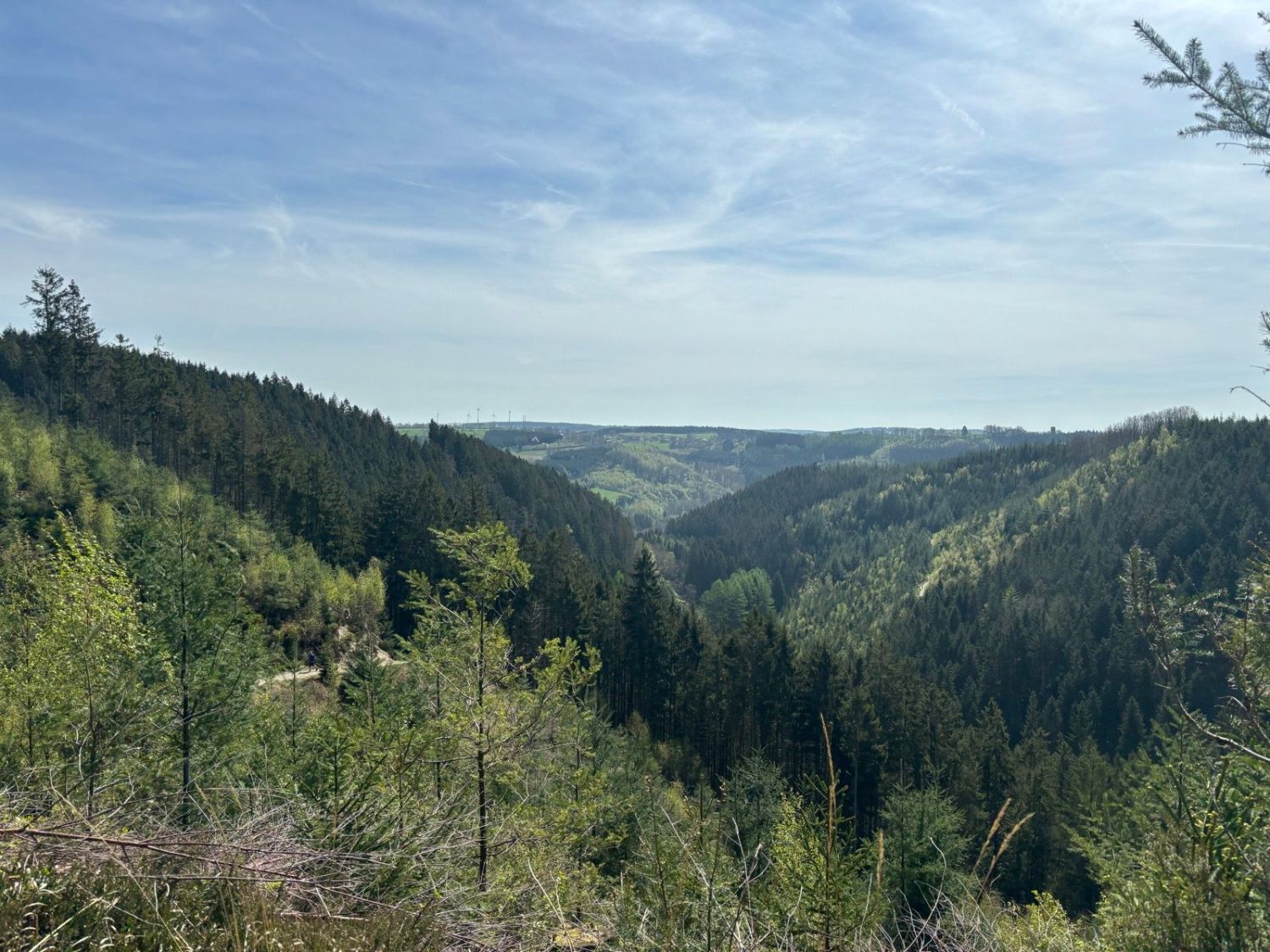
View from the Trôs Marets Canyon hike (© strava.com)
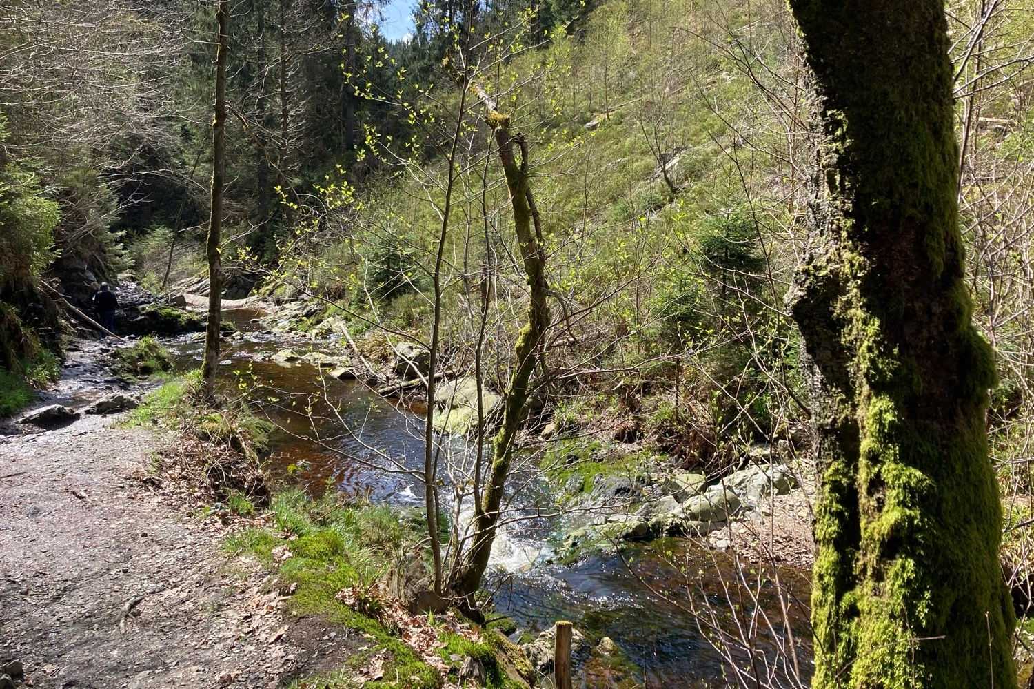
By the water (© strava.com)

Return to the starting point

After exploring the canyon and its various points of interest, the trail forms a loop and brings you back to the Piste de Ferme Libert, where you can enjoy the facilities for a well-deserved break.

This hike is ideal for nature and geology lovers, offering an immersion in varied landscapes and historical sites in the Malmedy region.

;

Ardenne Résidences: Local, Committed & Transparent

Newsletter

Sign up and get inspired for your next holiday in the Belgian Ardennes!