Discovering Thierry Castle

Discovering Thierry Castle
06 November 2026
This 12.7 km hike explores the hills overlooking the Meuse Valley around Falmagne and Waulsort. The route combines wooded sections, a steep descent to the river, and climbs to several hilltops in the area. The Cascatelles waterfalls, the banks of the Meuse at Waulsort, and the Drapeau viewpoint punctuate this loop with its rolling terrain.
The starting point is in Falmagne. The route gradually joins the paths leading towards the woods before beginning the descent through the Cascatelles sector, towards the Meuse valley.
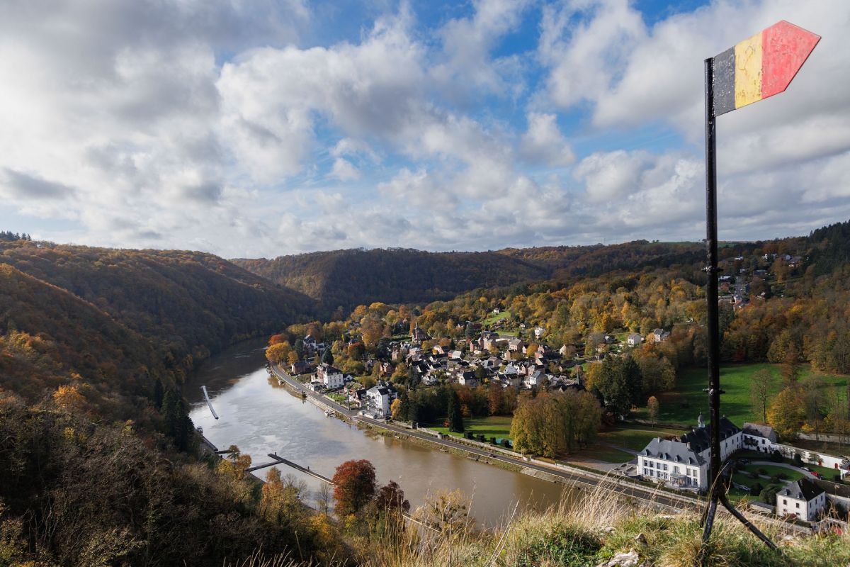
Drapeau Viewpoint (© Ardenne Résidences)
Falmagne : Starting and finishing village of this 12.7 km loop.
Les Cascatelles : Wooded passage used during the descent towards the valley.
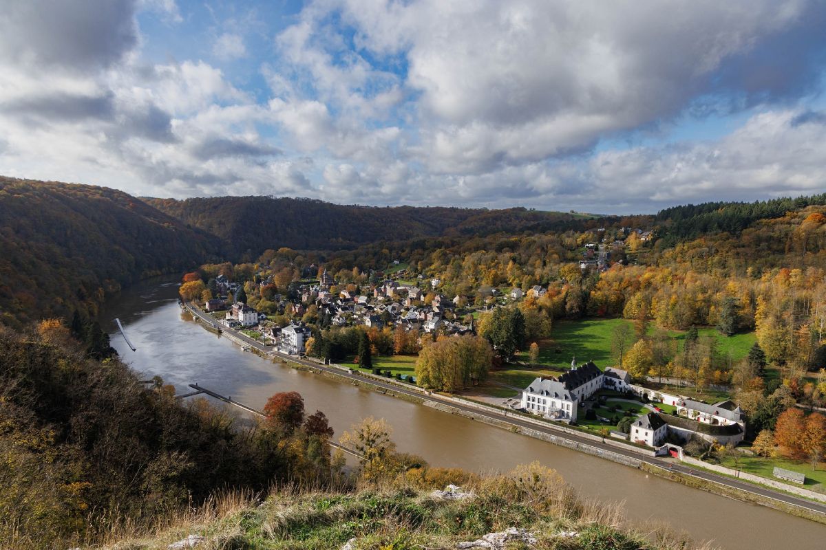
The Meuse : The hike joins the river at Waulsort, with a passage close to the moored boats and the water's edge.
Waulsort : Village located on the banks of the Meuse, crossed before gaining altitude.
Drapeau viewpoint 🇧🇪 : Belvedere recognizable by its Belgian flag, with a panorama of the Meuse and the reliefs of the valley.
Thierry Castle : Site which gives its name to the hike and marks the wooded heights of the area.
After passing through Waulsort , the route climbs again towards the Drapeau viewpoint .
The hike then continues along the high ground paths before gradually returning to Falmagne and the starting point.
(© Ardenne Résidences)

Book with confidence

Quality assured

Authentic photos

Local & Here to help

Clear & Detailed

Family-run & Personal

