Sy and Logne Hike

06 November 2026
Starting point
Rue des Ardennes 8, 6941 Durbuy
Duration
4h15
Difficulty
Difficult
Quentin
Capturing authentic and sometimes unexpected fragments of the Ardennes
All my contributions
This 18.5 km loop offers a very varied route between valleys, villages and rocky ridges.
The route begins with a rapid climb from Bomal towards the Bomal viewpoint , the first significant ascent. This is followed by a series of descents and climbs leading to Ozo.
The central section then runs along the Ourthe valley before reaching Logne and Palogne.
The second half of the route is more demanding, with a steep climb towards the Sy ridges , followed by more uneven terrain before the return to Bomal.
The hike starts in Bomal, at the bottom of the valley.
The first few kilometers quickly gain altitude with a sustained climb leading to the Bomal viewpoint, offering an unobstructed view of the Ourthe valley.
After Herbet, the trail alternates between wooded sections and more open paths, before gradually descending towards Bomal, where the loop closes.
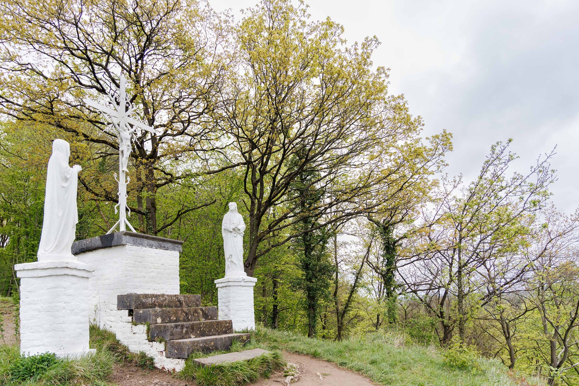
Bomal viewpoint (© Ardenne Résidences)

Book with confidence

Quality assured

Authentic photos

Local & Here to help

Clear & Detailed

Family-run & Personal