Sentier de la Chamia

Sentier de la Chamia
06 November 2026
This 4.7 km hike explores the wooded heights of Waulsort with several openings overlooking the Meuse valley. The route alternates between steep climbs, fast descents and more rolling sections, while passing close to several natural and historical sites in the area.
The departure point is in Waulsort, near the Meuse.
The first paths gradually gain altitude and quickly allow you to observe the valley from the wooded slopes.
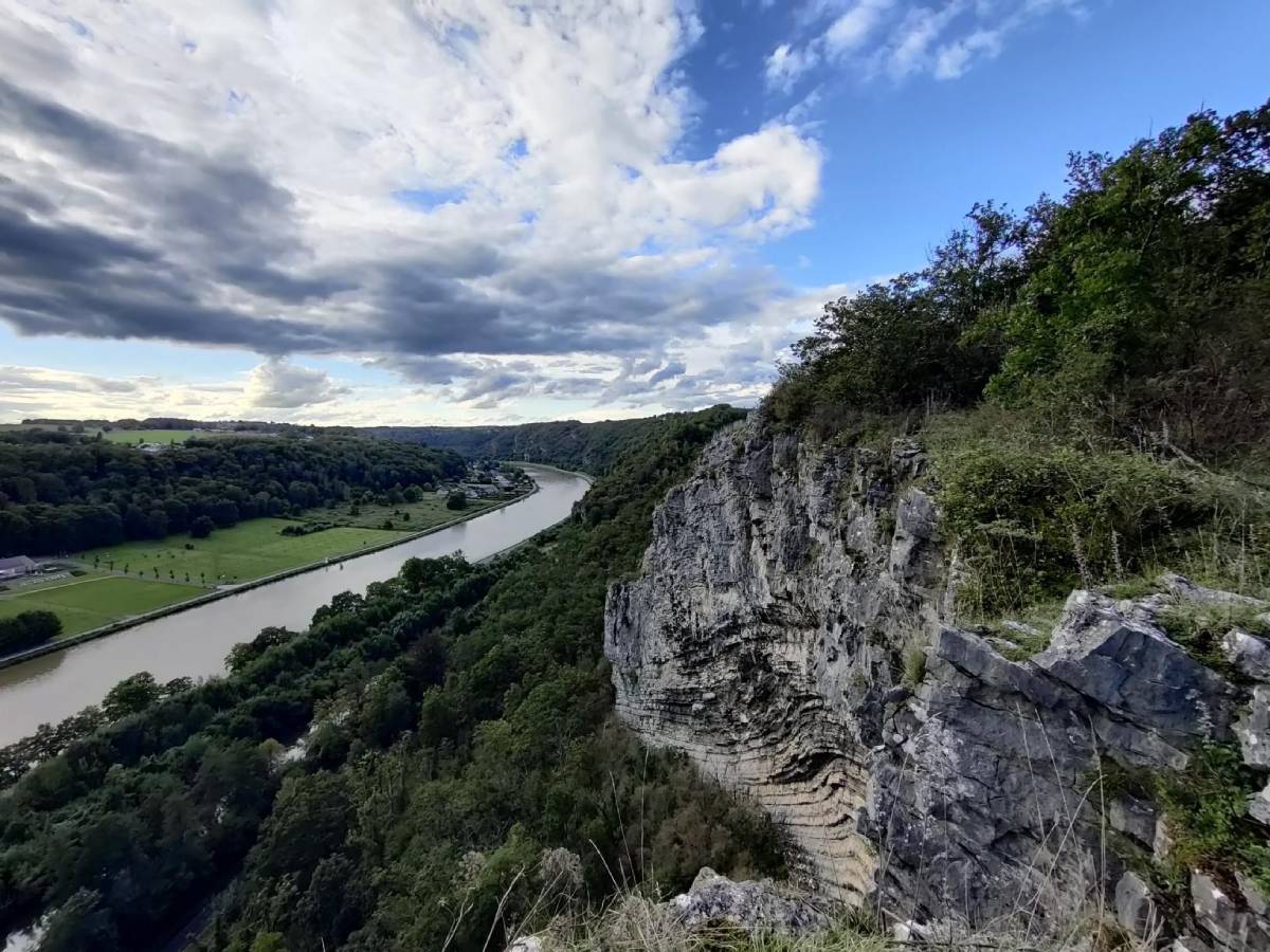
Waulsort (© strava.com)
Waulsort : Starting and finishing village of this short loop.
The Meuse River : Present throughout the landscape, with several viewpoints from the heights of the route.
Source du Fond des Vaux Cave : Natural site located near the route.
Roman camp : Ancient site located on the heights, also close to the route.
Trou Paucot : Natural cavity located near the route in the wooded area.
After the sections on the heights, the route gradually descends towards the Meuse valley.
The final section joins Waulsort after a more pronounced descent, with several glimpses of the river before returning to the starting point.
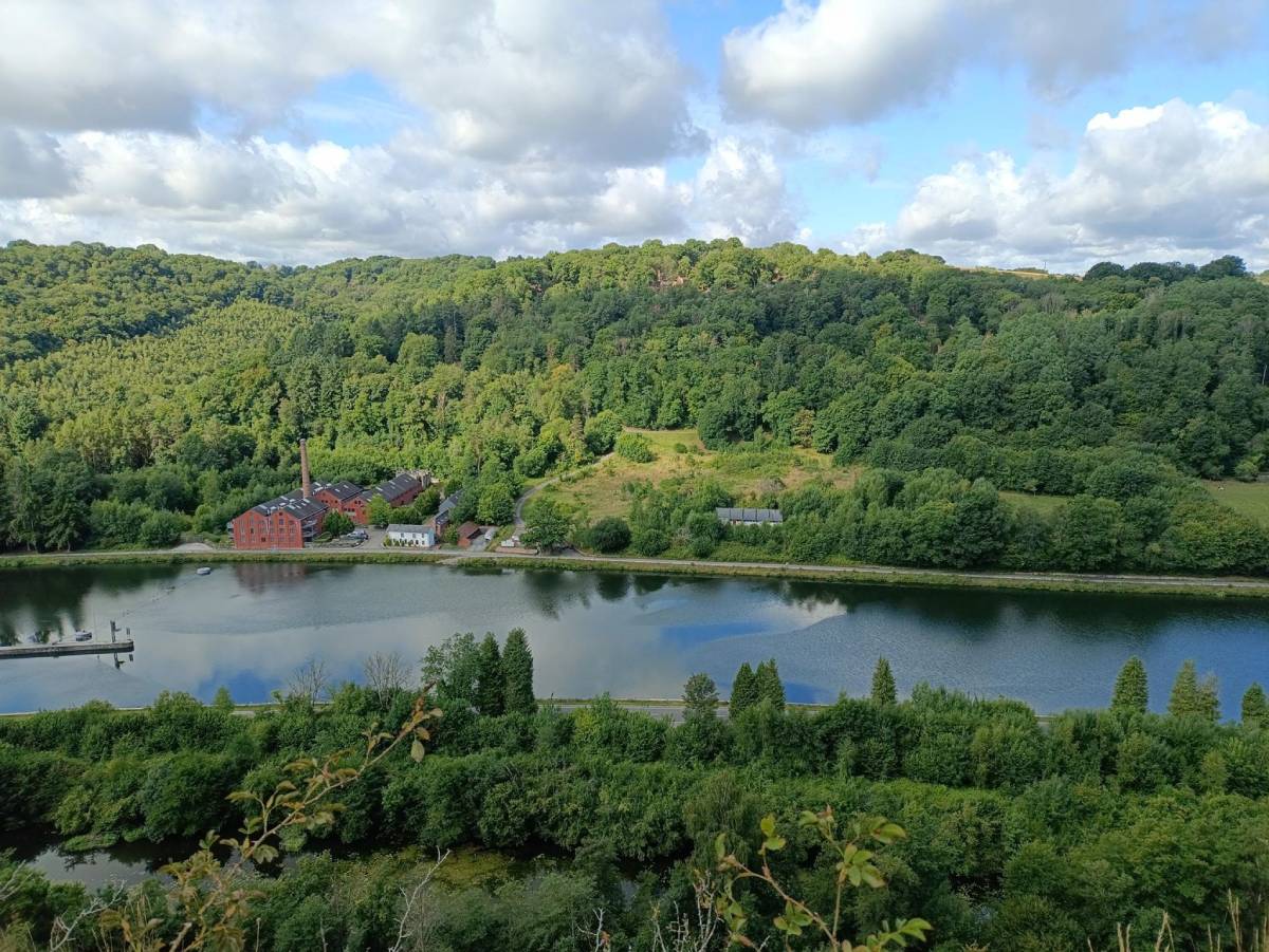
(© strava.com)

Book with confidence

Quality assured

Authentic photos

Local & Here to help

Clear & Detailed

Family-run & Personal

