Rocher de Bieley Hike

05 November 2026
This 12km hike takes you to the heart of the High Fens, to discover the Rocher de Bieley, an impressive rocky outcrop marking the border between Belgium and Germany. The route alternates between forest paths, open landscapes and sections alongside streams, for total immersion in nature.
The starting point is located along the Rocherath road, near Elsenborn. From the car park, follow the marked trails which quickly lead into the peat bog forests towards the Rocher de Bieley.
Part of the route crosses a military area . Before setting off, it is essential to check that no exercises are taking place there via the official Belgian Defence website:
👉 Military training schedule
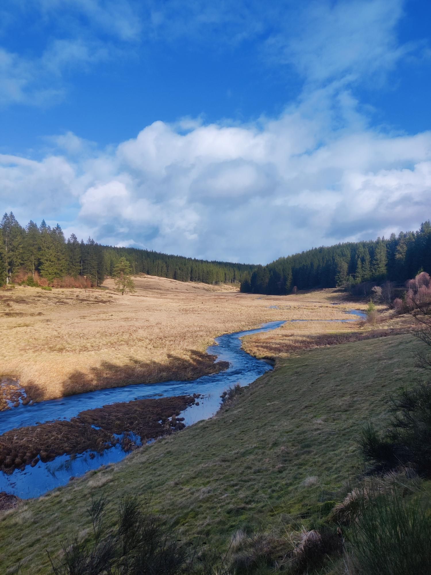
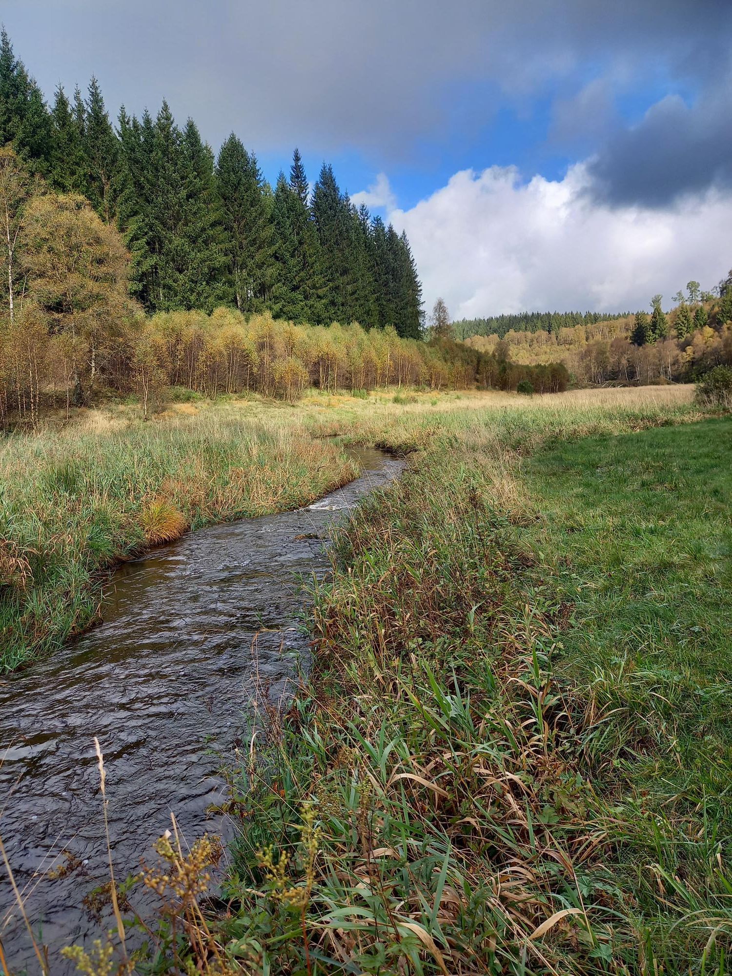
Hike to the Rocher de Bieley (© strava.com)
After discovering the Rocher de Bieley and the panoramas of the High Fens, the route gradually descends to join the Rocherath road, the starting and ending point of this loop.
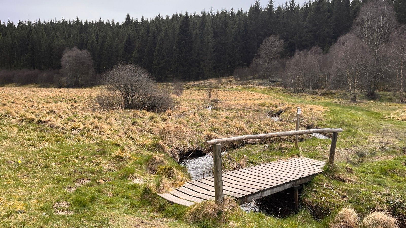
Hike to the Rocher de Bieley (© strava.com)

Book with confidence

Quality assured

Authentic photos

Local & Here to help

Clear & Detailed

Family-run & Personal