Pont d'Arcole Caves Hike

06 November 2026
This 4.5 km loop starting from Hastière-Lavaux offers a short but varied route through valleys, streams, and hills. The trail begins gently before a gradual climb to the highest point, located around the 2nd to 3rd km mark. The second part is marked by a steady descent towards the Meuse River.
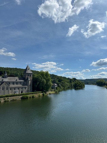
The starting point is Hastière-Lavaux, on the banks of the Meuse.
After a few minutes, the route joins the Féron stream, which you follow for a good part of the climb through a wooded environment.
Hastière-Lavaux : Starting and finishing village located along the Meuse.
Féron Stream : Small stream accompanying a large part of the ascent.
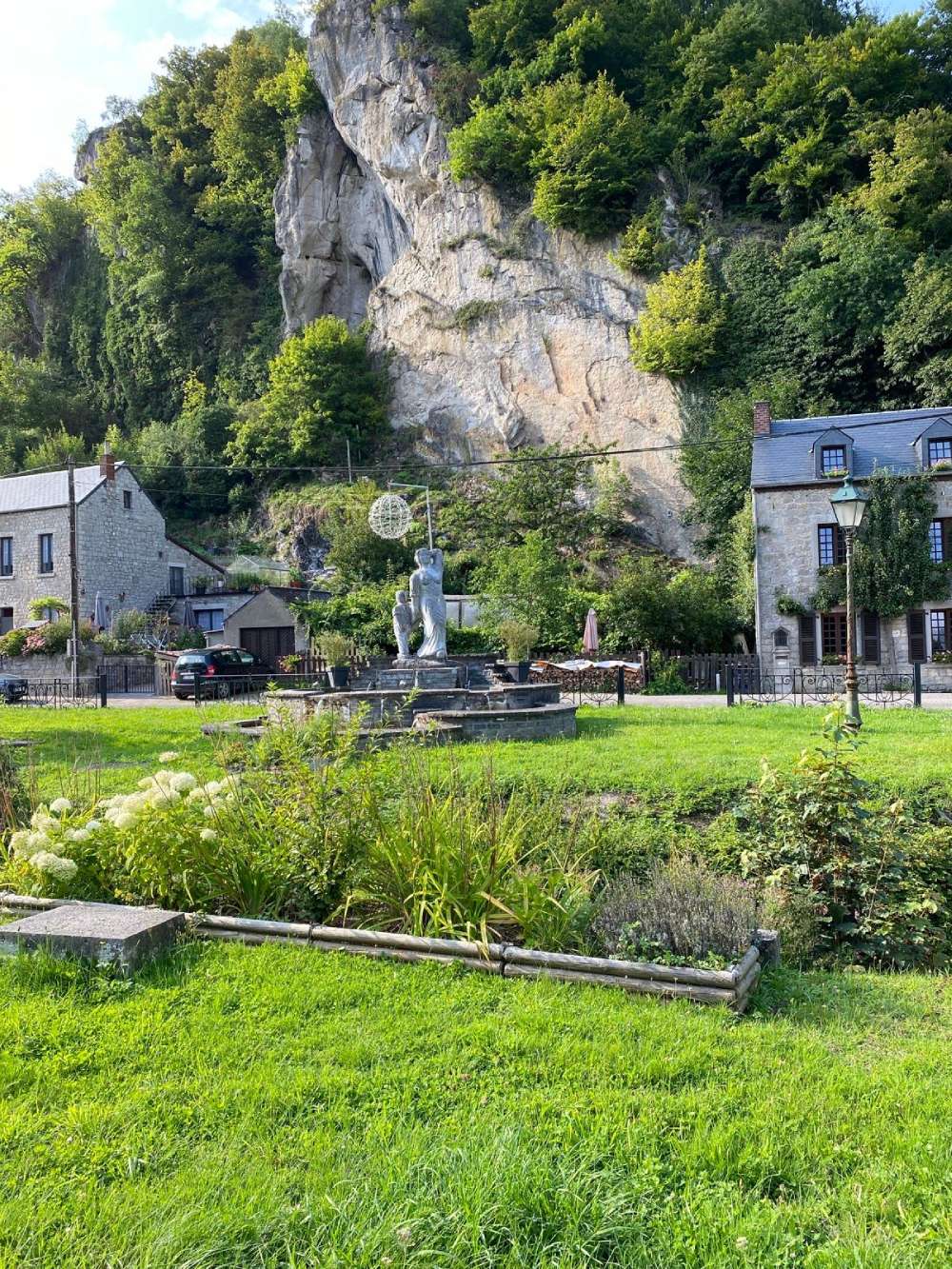
Pont d'Arcole Caves : A remarkable natural site located on the heights of the route.
The Meuse : The final descent joins the valley and follows the river until the return.
After passing the caves, the path gradually descends back towards the valley before joining the Meuse, which we follow to return to Hastière-Lavaux.
(© strava.com)

Book with confidence

Quality assured

Authentic photos

Local & Here to help

Clear & Detailed

Family-run & Personal