Pisserotte Hike

06 November 2026
Starting point
Pisserotte, 6661 Houffalize, Belgique
Duration
2h
Difficulty
Easy
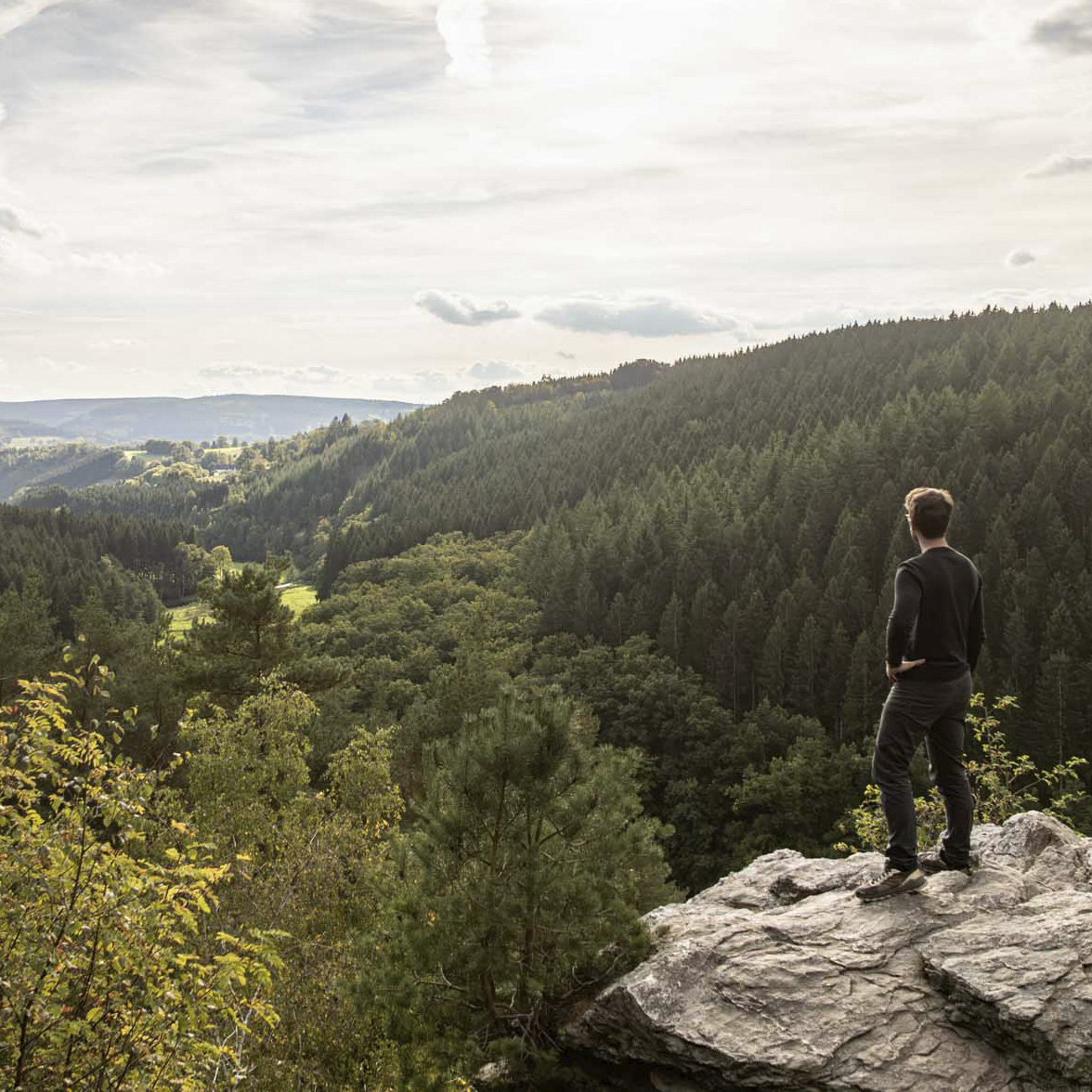
Quentin
Capturing authentic and sometimes unexpected fragments of the Ardennes
All my contributions
Peaceful landscapes worthy of a painting in every season
This 10km loop alternates between forested sections, open areas, and wetter sections typical of the plateau. The beginning of the route features a gradual descent, followed by a pronounced dip around the three-kilometer mark.
The second half consists of a regular climb, clearly visible on the altimetric profile, followed by a slightly descending false flat until the return.
The starting point is near Odeigne, on a forest path that gradually loses altitude before reaching a more enclosed area.
The end of the loop gradually climbs back up through woods and open paths, before returning to the starting area.
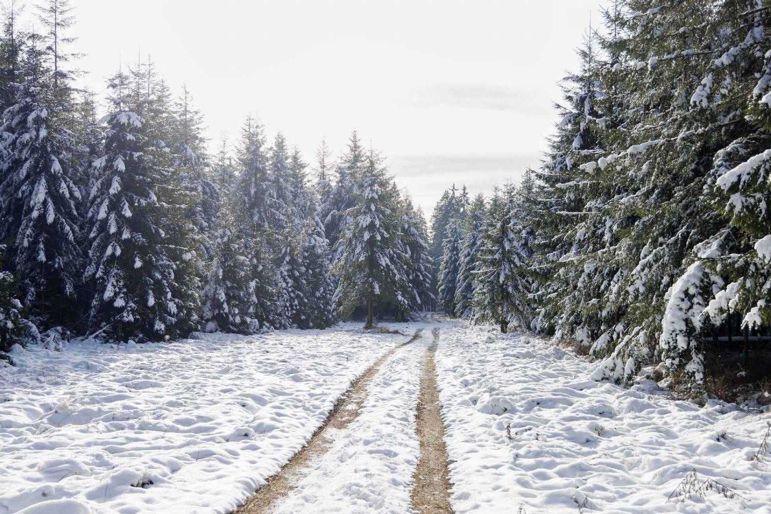
Pisserotte Hike (© Ardenne Résidences)

Book with confidence

Quality assured

Authentic photos

Local & Here to help

Clear & Detailed

Family-run & Personal