La Sawe Walk

05 November 2026
Starting point
Eglise de Solwaster, 4845 Jalhay
Duration
1h20
Difficulty
Easy
This 6.21 km loop starting from Solwaster takes you on a journey through a typical High Fens environment, between wetlands, wooden footbridges and deciduous forests. A short but refreshing route, accessible to all.
The starting point is the parking lot of the church in Solwaster, Rue de l'Église. Very quickly, the path enters the undergrowth, with some sections equipped with boardwalks along the marshy areas.
After crossing the last footbridges, the climb back up to Solwaster is gentle via wide forest paths.
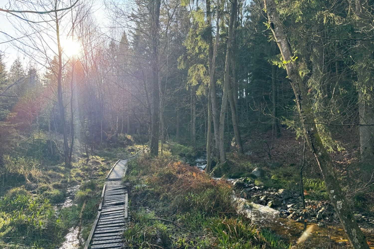
On the Sawe river walk and its boardwalks (© strava.com)

Book with confidence

Quality assured

Authentic photos

Local & Here to help

Clear & Detailed

Family-run & Personal