Crêtes de Sy Walk

05 November 2026
Starting point
Route du Pâlogne 2, 4190 Ferrières
Duration
4h
Difficulty
Difficult

Jurgen Bricheux
A sporty epicurean in search of new trails and shared pleasures
All my contributions
This 16.95 km hike forms a varied loop starting from Palogne, offering a beautiful immersion in the steep and wooded landscapes of the valley. The route follows sloping forest paths, crosses hamlets and reaches several remarkable viewpoints.
The starting point is at the Château de Palogne, on the banks of the Ourthe. Very quickly, the route climbs in altitude via steep but accessible wooded paths, to reach the heights overlooking the valley.
After the more technical sections and high points, the descent eases towards the river. The return follows a well-maintained tourist path, perfect for a gentle conclusion to the route, back to Palogne.
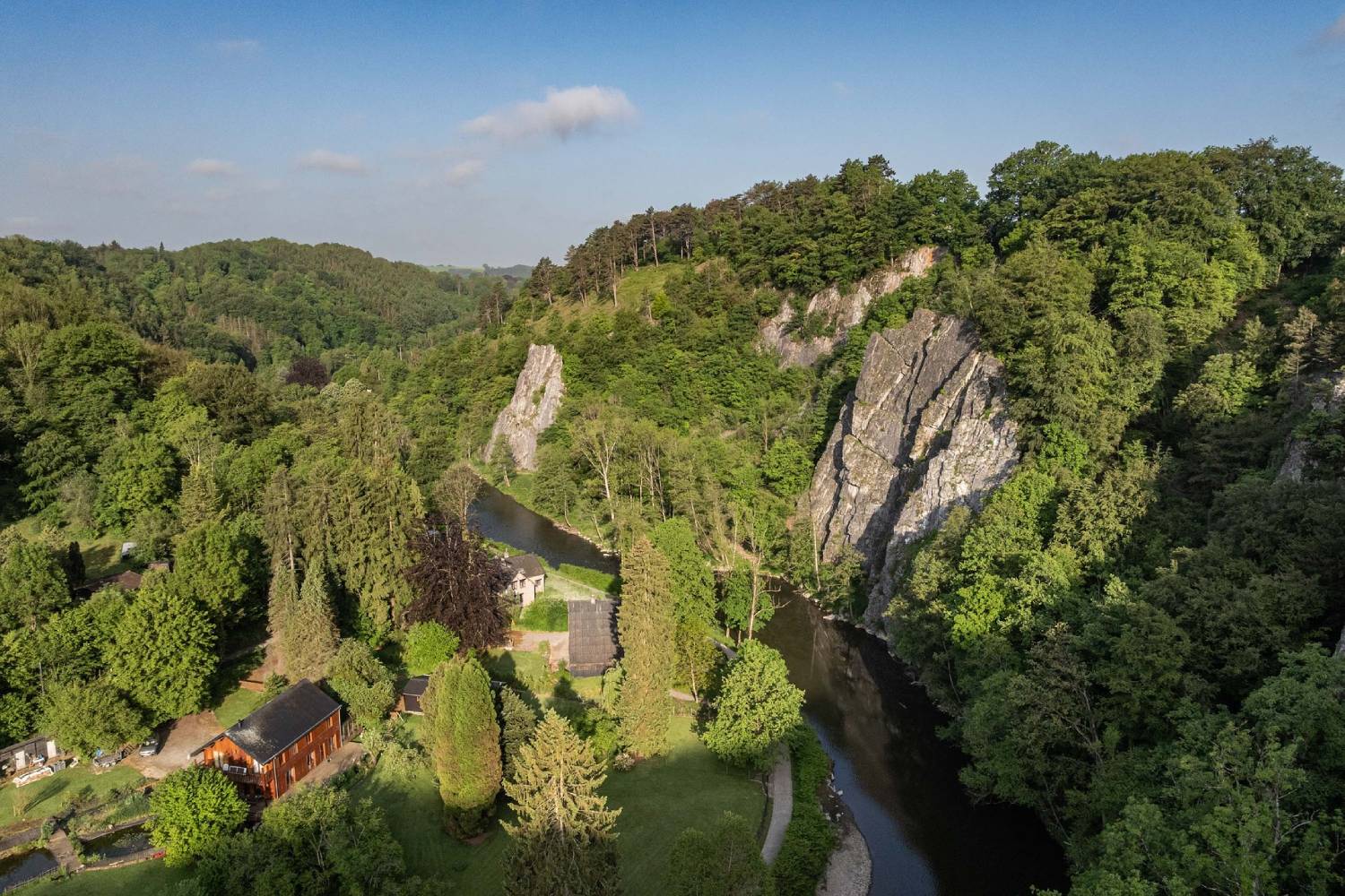
View of the Ourthe and the Crêtes de Sy (© Ardenne Résidences)

Book with confidence

Quality assured

Authentic photos

Local & Here to help

Clear & Detailed

Family-run & Personal