Charneux Hike

Charneux Hike
06 November 2026
This 10.6 km hike explores the rolling landscapes around Charneux, with an alternation of rural paths, wooded passages and more open sections towards Roy.
The route features several successive ascents and descents, with a positive elevation gain of approximately 284 m. A dynamic loop to discover a quiet area of the Ardennes, along the Wamme river, the Pécheuri stream and country lanes.
The starting point is in Charneux, before gradually joining the paths that descend towards the valley floor.
The beginning of the route quickly presents some elevation changes, with an initial climb followed by a descent towards the wetter areas near the streams.
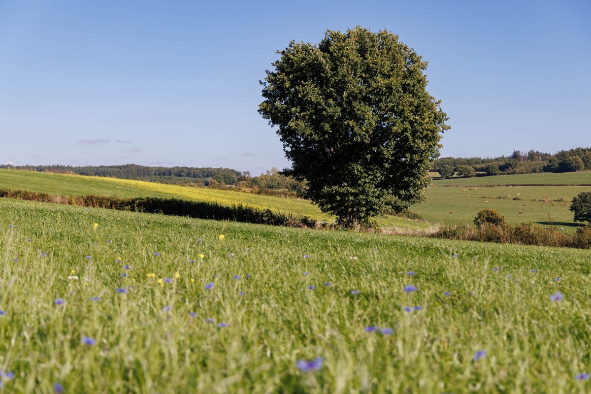
Roy (© Ardenne Résidences)
Charneux : Starting and ending point of the loop, in a rural environment made up of meadows, hedges and country lanes.
The Wamme : River present in the area, bringing a valley atmosphere to part of the route.
Pècheuri Stream : Small stream encountered on the route, in a more natural and wooded area.
Roy : Village passed through in the second part of the loop, with an open and typically Ardennes setting.
After passing through Roy, the route gradually heads back towards Charneux.
The end of the loop remains hilly, with a final series of small climbs and descents before returning to the starting point.

Book with confidence

Quality assured

Authentic photos

Local & Here to help

Clear & Detailed

Family-run & Personal


