Mont-le-Soie from Vielsalm

03 November 2026
Starting point
Rue Jean Bertholet 5, 6690 Vielsalm
Duration
2h30
Difficulty
Difficult
A challenging and immersive cycling route through the heart of the Ardennes landscapes, from the shores of Lac des Doyards to the wooded ridges of Mont-le-Soie . This 62 km circuit takes you through a series of hills and forest sections typical of the Vielsalm region, passing through iconic villages, winding streams and several points of natural or heritage interest.
The starting point is Vielsalm , very close to Lac des Doyards . You leave the town via Rencheux , then gradually climb towards Goronne , crossing peaceful wooded areas. The route continues towards Odrimont , Noirefontaine , then along the Bâleur stream before reaching Reharmont .
After Reharmont, you continue towards Fosse , then Saint-Jacques . The road winds through Dairomont and Quartiers , in an atmosphere typical of the Ardennes mid-mountain region.
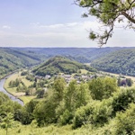
At Petit-Halleux , you cross the Salm River to reach Grand-Halleux , before tackling the climb to Mont-le-Soie , one of the highest points in the region. The final sprint to Mont-le-Soie is an intense moment before starting the descent towards Tinseubois and Commanster , with a beautiful view over the valley.
The rest of the route passes through Beho (and its famous 3-border chip shop ), Courtil , Bovigny , then Honvelez and Cierreux , before reaching La Ronce , where a small, discreet stream flows.
Finally, the return to Vielsalm follows the Salm and passes near the coticule museum , for a final smooth rolling section.
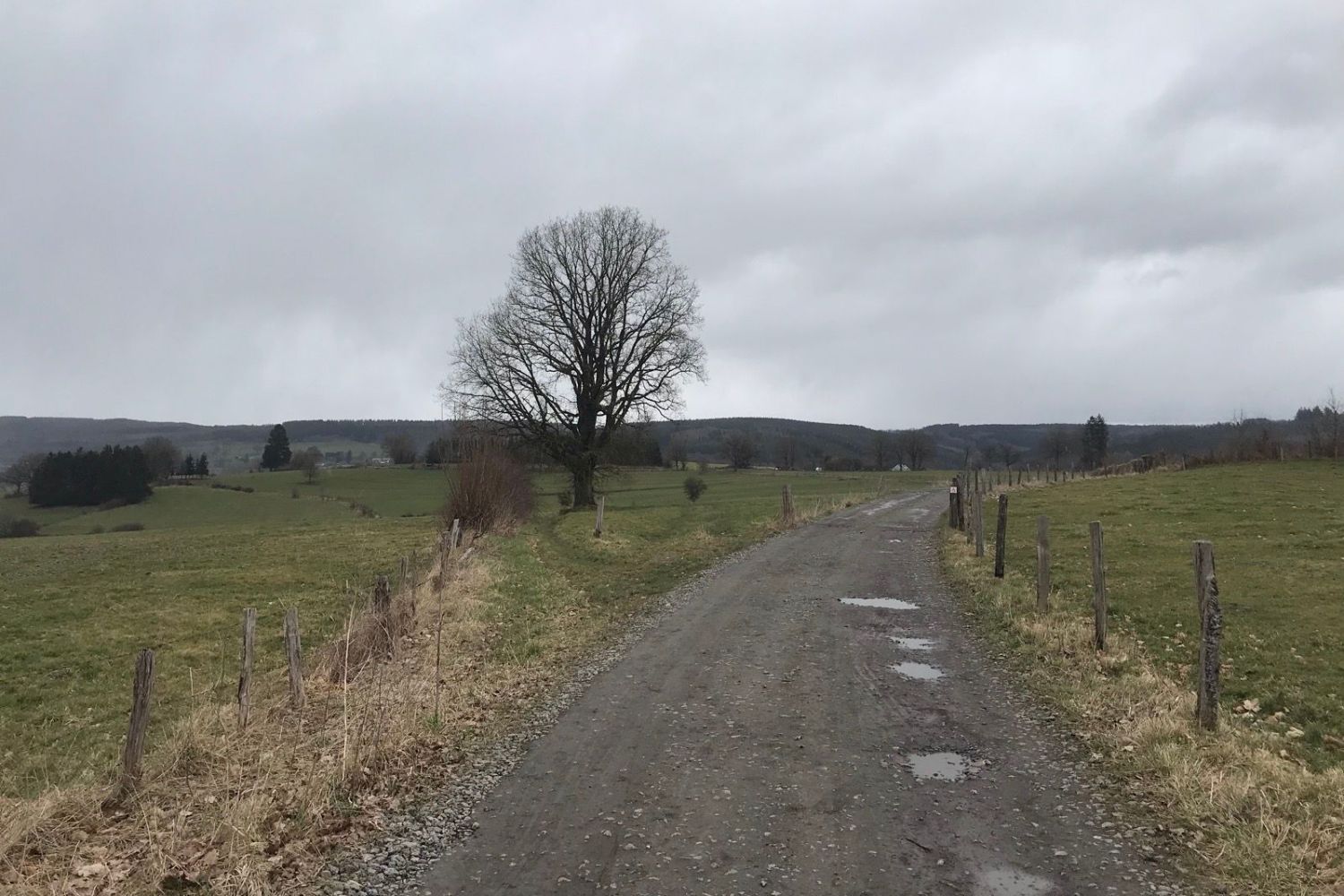
(© strava.com)
The final climb to Mont-le-Soie , although less well-known than other Ardennes passes, is regularly used as a training ground by local cyclists. The panorama at the summit offers a sweeping view of the High Ardennes forests, particularly prized in autumn for their vibrant colours.
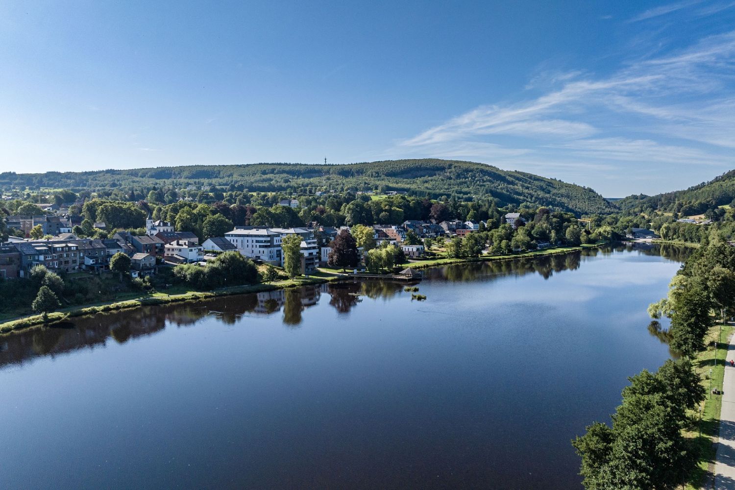
Lake Doyard in Vielsalm (© Ardenne Résidences)

Book with confidence

Quality assured

Authentic photos

Local & Here to help

Clear & Detailed

Family-run & Personal