Col de Huldange
22 October 2026
Starting point
9647 Bohey Doncols Winseler
Duration
4:30
Difficulty
Difficult
Jurgen Bricheux
A sporty epicurean in search of new trails and shared pleasures
All my contributions
This 100km cycling loop starting in Bohey , in the municipality of Winseler, takes you through the wild landscapes and deep forests of northern Luxembourg. The route alternates between steady climbs , technical sections , and exceptional panoramas , perfect for cyclists seeking both challenge and enjoyment.
The starting point is in Bohey , a rural hamlet well known to cyclists.
From the car park located near the Bohey Centre or LuxBikes , follow the quiet and signposted roads towards Doncols.
Doncols : First village passed through, with a gentle climb of 0.57 km at an average gradient of 4.4%.
Hachiville : 1.69 km climb in an open area, typical of the Luxembourg plateau.
Huldange : Passing through the highest point in Luxembourg, with a moderate climb surrounded by forests.
Colline d'Alscheid : A gradual 3.89 km climb that will test your endurance.
Côte de Winseler : Long climb with a steady gradient (4.18 km at 3.2%), ideal for climbers.
Kautenbach : Village nestled in a valley, marked by a technical descent of 2.32 km (average gradient: -6.2%).
After completing the crossing of the Luxembourg valleys and ridges, you reach Bohey via a gradual and open road.
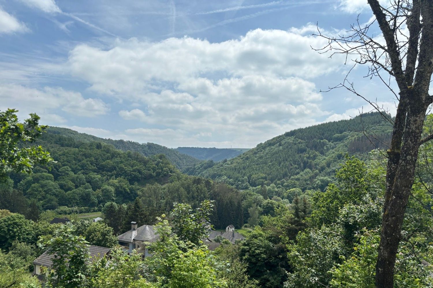
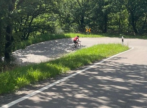
A quick stop along the road to admire the view (© strava.com)

Book with confidence

Quality assured

Authentic photos

Local & Here to help

Clear & Detailed

Family-run & Personal